Democratic leaders of the Indianapolis City-County Council will introduce proposed new council districts at a meeting tonight. The districts, if approved, would take effect for 2023 city elections.
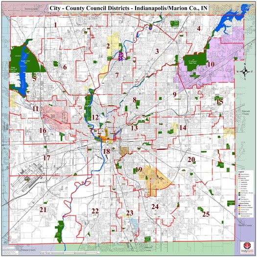
A map of the proposed districts (above) was posted online late last week. A public hearing on the proposal will place at an April 12 meeting of the council’s Rules and Public Policy Committee. Council leaders haven’t said if there will be additional hearings on the districts.
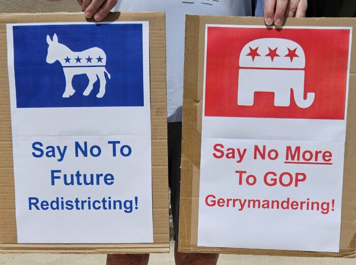
Council leaders rejected requests from redistricting reform advocates that they appoint an independent commission to create new election maps, an approach taken by Monroe County and the cities of Bloomington and Goshen. In response, a citizens’ commission spearheaded by Common Cause Indiana plans to conduct a “shadow” redistricting process and propose alternative Indianapolis maps.
The Indianapolis Democrats’ proposal is sponsored by city-county council president Vop Osili, vice president Zach Adamson and majority leader Maggie Lewis. They said it reflects what the council heard at input sessions conducted across Marion County by Engaging Solutions, a city subcontractor.
“For the first time in our city’s history, this council positioned the voices of Indianapolis residents as the first and most critical step in the redistricting process,” Osili, Adamson, and Lewis said in a statement. They said the proposal “reflects what we heard from constituents,” along with “our commitment to a process that was transparent, public-focused, and open to all.”
Some 155 people participated in the 10 public-input sessions, according to an Engaging Solutions report. Some called for a more open process while others expressed concern about fair representation or offered thoughts on “communities of interest,” which are supposed to be protected in redistricting.
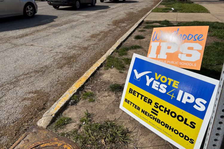
Under Indiana law, cities must redraw election districts this year to reflect population changes in the 2020 census. Redistricting in Indianapolis after the 2000 and 2010 census counts was contentious, resulting in partisan disagreements that ended up in court.
The proposed new maps scramble all 25 current council districts. In part, that reflects shifts in population, including faster growth in southern Marion County. The proposal would create five districts on the county’s southern border, compared to four in the current map.
Some analysts suggest the shift to the south could help Republicans. Indianapolis Star columnist James Briggs wrote that “Republicans look like the biggest winners” with the Democrat-drawn maps. He said two pairs of Democratic council incumbents were drawn into districts with each other.
Aaron Olson, an Indianapolis political data analyst, wrote on Twitter that Republicans could expect to win nine or 10 district seats on a strong GOP year. He said Donald Trump carried six of the proposed districts in 2020 and came close in several others. (Trump got 34% of the vote in Marion County).
Currently, 19 council members are Democrats, five are Republicans and one is an independent who was elected in 2019 as a Democrat. — Steve Hinnefeld